Single-pitch Sport Climbing in the Calanques
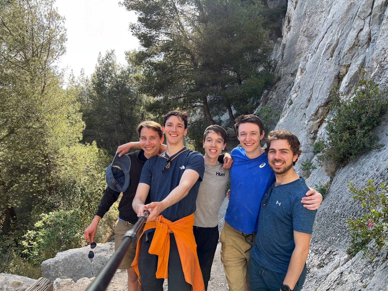
The Calanques National Park near Marseille features a huge expanse of beautiful limestone with breathtaking views. From April 22nd - 30th 2023 I was able to visit with 4 friends and experience a small sample of the wealth of rock climbing on offer in the Massif.
Day 0 - Arrival #
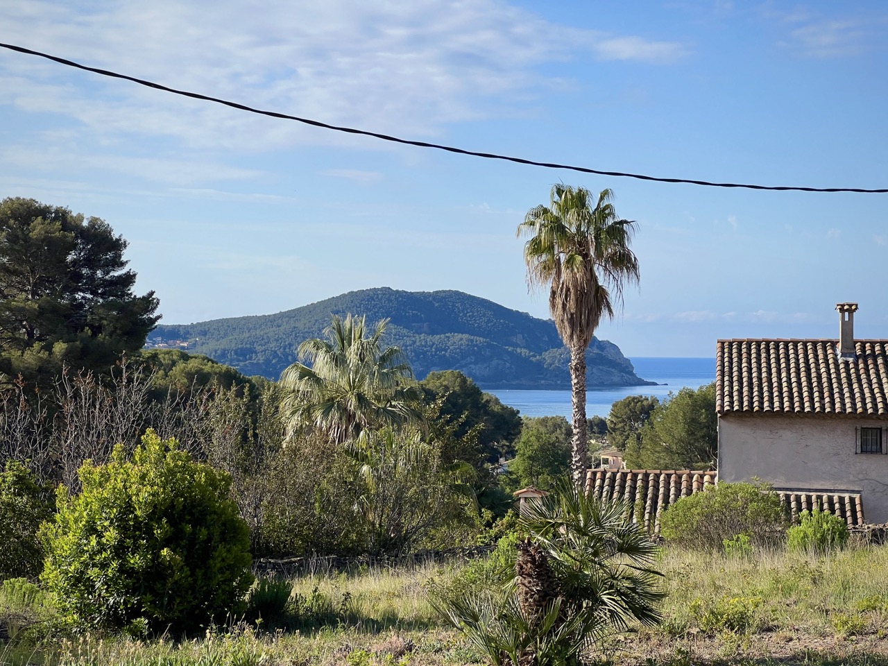
Having hired a car from Marseille Provence Airport, we arrived at our Airbnb in Saint Cyr Sur Mer, dumped our bags, and found dinner in the small port town. Cassis is a more commonly recommended place to stay for a trip to the Calanques but the choice of available Airbnbs for our trip nudged us a bit further west, and we didn’t mind the additional scenic driving.
Day 1 – Roche Percée, Morgiou #
For our first day in The Calanques, we were looking for a crag that was far enough from the available parking so as not to be too busy on the weekend. We opened up the guidebook — Climbing in the Calanques (2020) — to find our first target.
For the duration of our trip, the Route de Morgiou and Route de Sormiou roads were closed during the daytime ‘to allow clear access to emergency services’. The guidebook shows you where the road closure gates are on its maps using a black gate symbol ( ). The gates can also be spotted on Google street view to get a better idea.
Roche Percée is accessible within 40 minutes walk from the large car park next to Luminy University (43.2325910°, 5.4324360°) and has routes within our preferred grade range (5b-6b).
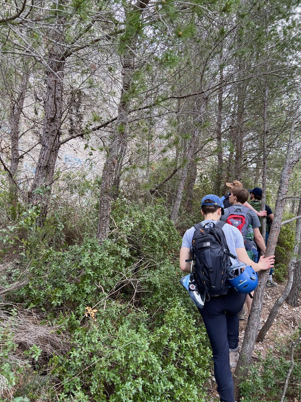
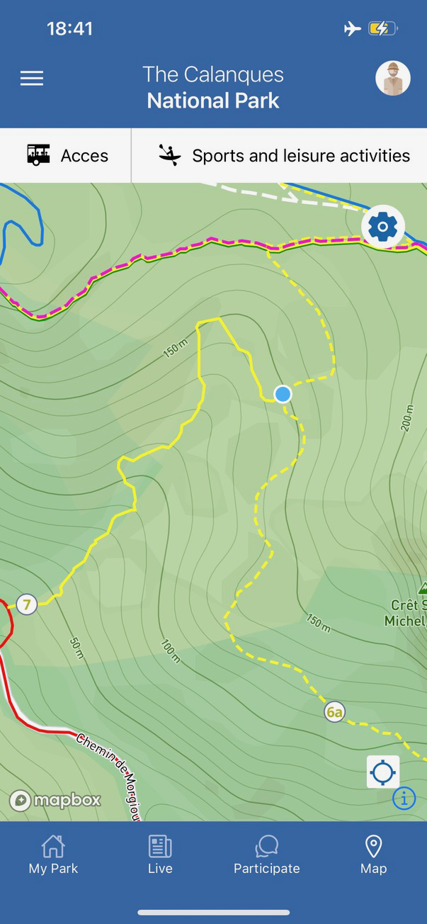
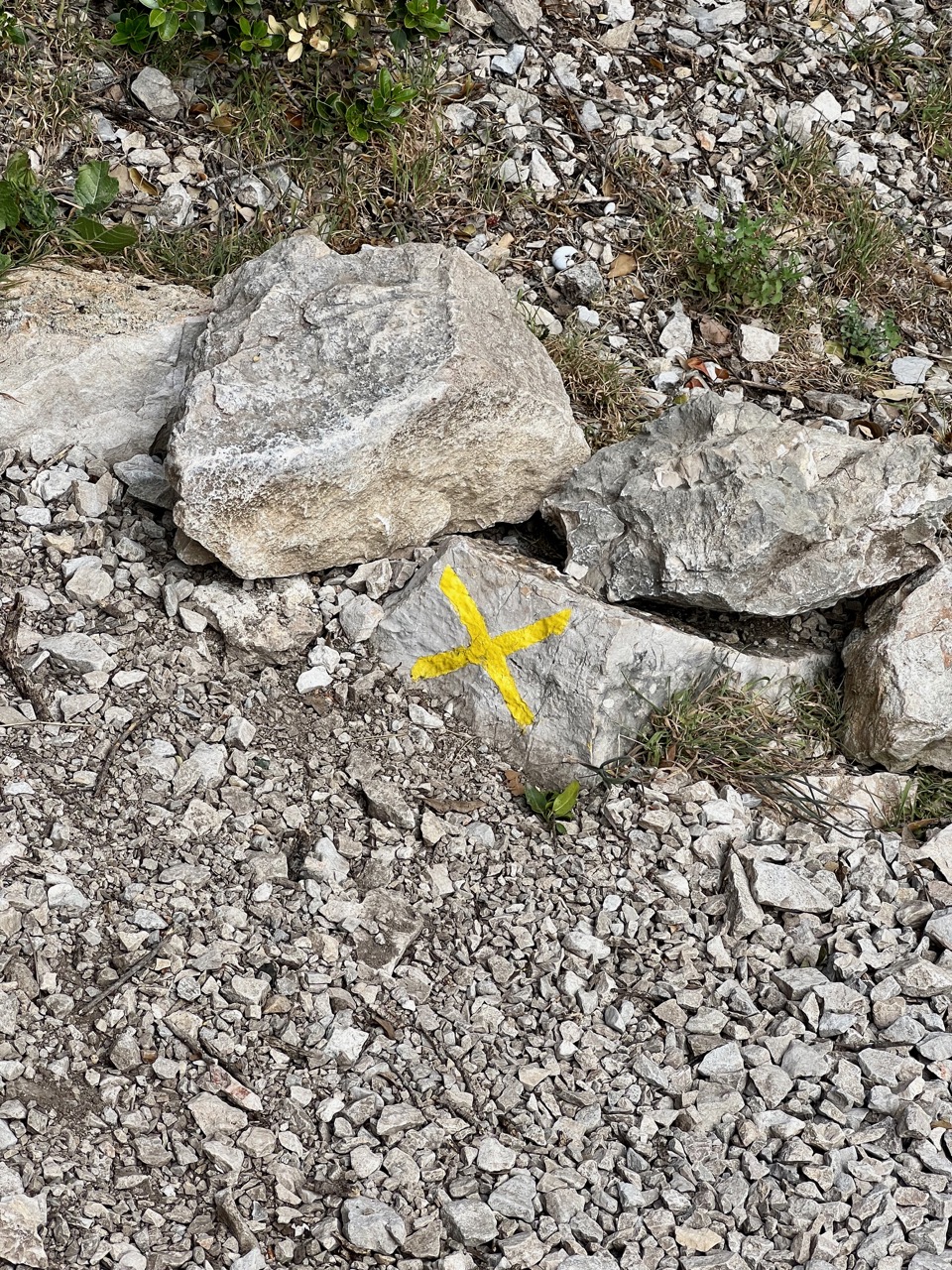
Having not paid enough attention, and not understanding what the guide book was trying to say, we strayed down yellow trail number 7 rather than 6a and ended up spending about 2 hours on what should have been a 40 minute approach. Luckily, the weather was overcast and not too hot, and we made it to the crag without melting. From Luminy, follow yellow trail 6a until you are near the coordinates, above the crag look at the arch to get your bearings, then go back to find the side trail which is marked with a yellow cross. Follow the piles of rocks down a scramble descent to get round to the west of the crag, enter through the arch.
The Mes Calanques app has a downloadable map that shows the walking trails along with your location (which you manually update by pressing the location button), which we found very useful throughout the trip.
The main walking trails in The Calanques tend to have markers (lines, or Ls to indicate a turn) painted on rocks in shiny paint. Coloured crosses indicate that the route of that colour does not go this way.
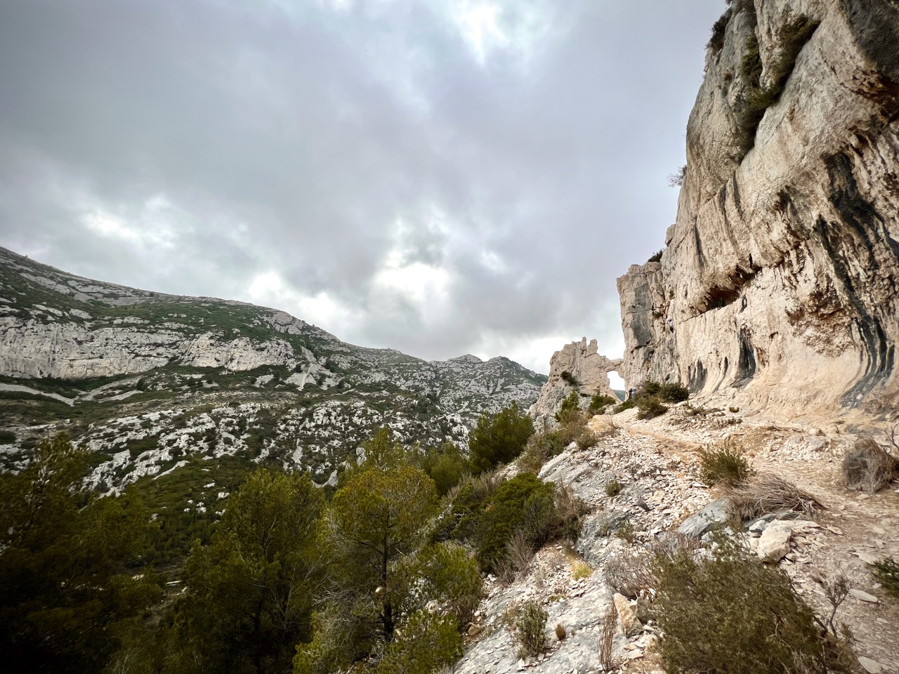
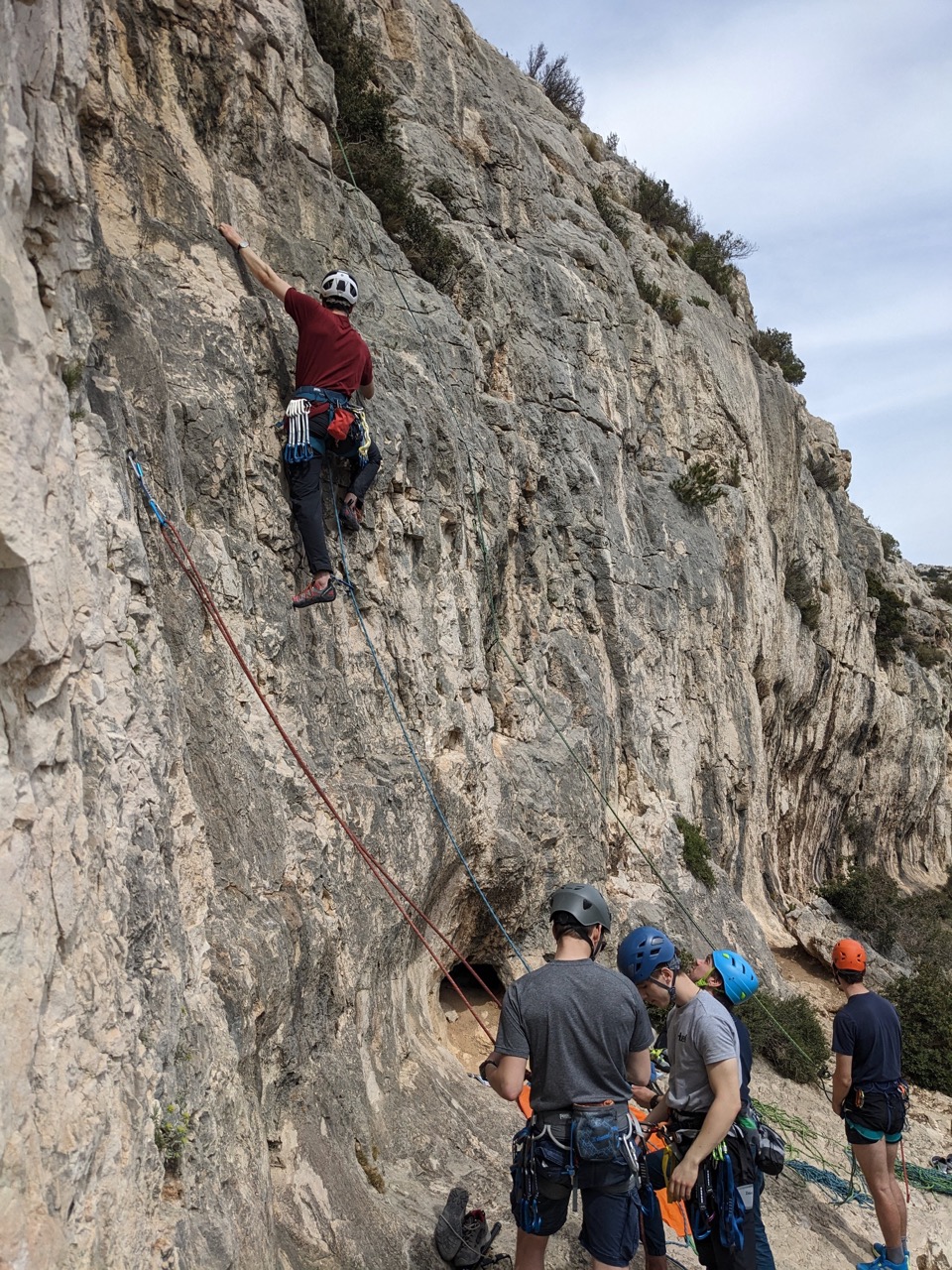
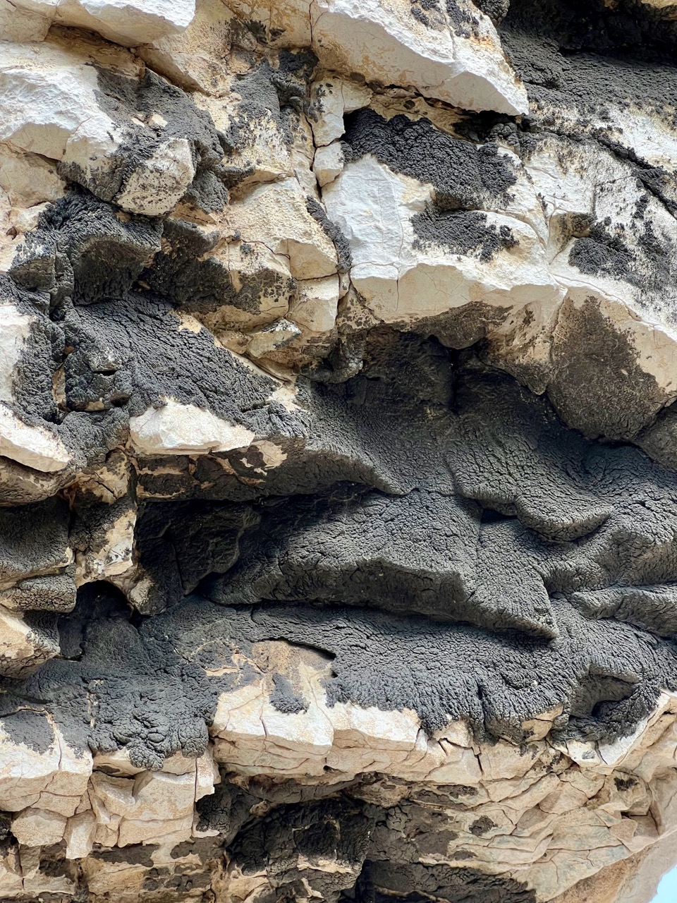
The crag itself is a charming, secluded dish with a terrific view of the Calanque de Morgiou and a delightful archway entrance. There is a reasonably sized and flat-ish ledge from which to belay, though walking around the crag you will need to pay some attention to stay clear from the sheer drop when you’re not tied into anything.
We thankfully found our way back more directly, returning to the Luminy car park in around 40 mins.
| Climb Log |
|---|
| La Baleine, 5b, hangdogged |
| La Sixiéme Tortue, 4c, lead. Easy climbing with a strange anchor at the top. Two bolts joined by a chain with no rappel ring, just a maillon to lower off. |
| Le Boyau, 5a, lead. Beautiful, juggy climbing, with a big quartz crystal in the middle |
Day 2 – Pouce, Sormiou #
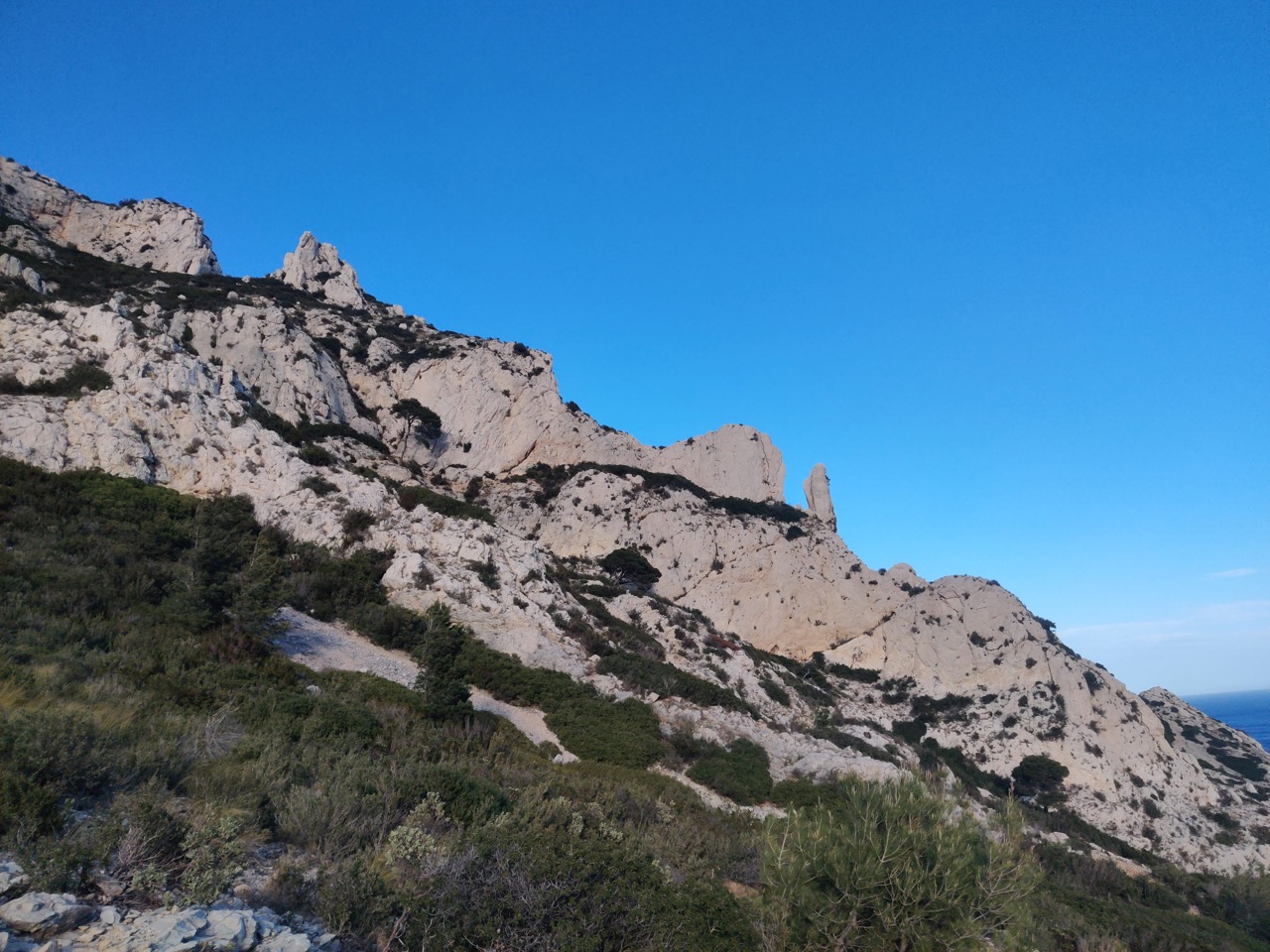
We approached this crag from the car park at the start of Route de Morgiou (despite this crag overlooking Sormiou). Google Maps struggled to direct us to this car park, despite it not being complicated, so keep an eye on the map. We arrived at about 11:00 on a Monday and got the last space in the car park (get in!).
From the car park we did not walk along the road but along the red route number 5 (not pictured in the guidebook but in the IGN or Mes Calanques app map) until we met the path marked with a blue climber. This approach took us 30 mins.
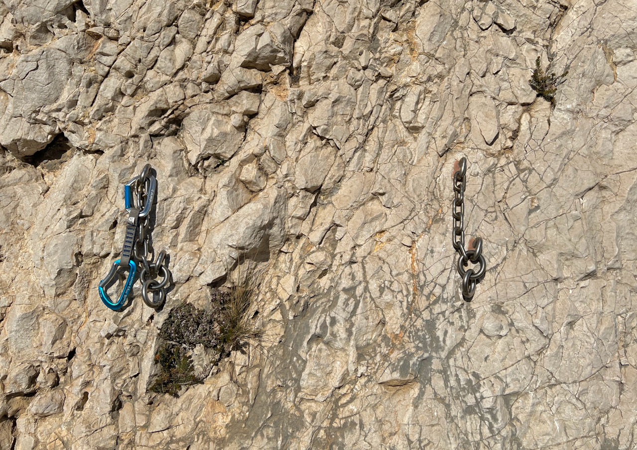
Anchors at this crag were excellent, generally being a rappel ring connected to two bolts by a chain. There is also a practice anchor at ground level, making this a good first crag of the trip if you or your climbing partners would like extra practice at tying off before gravity gets involved.
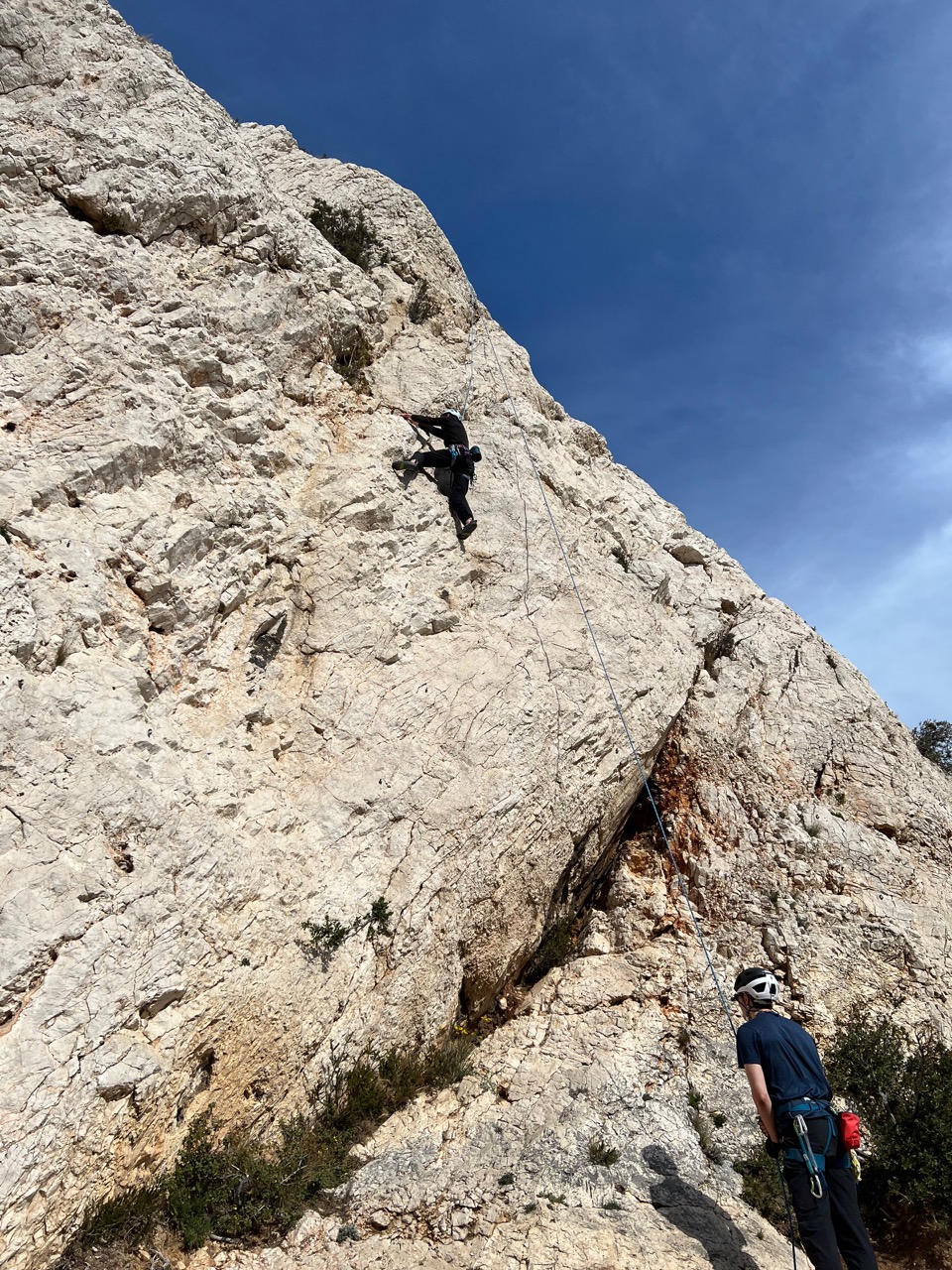
| Climb Log |
|---|
| Le Pouce Dans Le Nez, 3c, lead. An essential photo opportunity for any equipped visitors to this crag. I was so excited to sit on the top, I forgot to change into my climbing shoes. The view of the Calanque de Sormiou from the top of ‘the thumb in the nose’ is fantastic. If the wind is gentle or if you are feeling particularly brave, you can stand up at the top. |
| Anti-Rouille, 5b, onsight |
| Iznogood, 6a, lead. Despite the name, an enjoyable route, though some loose rocks towards the top. There are additional bolts above the anchor for you to step up and safely enjoy the view. |
| C’est Super, 5b, lead. Gentle for the grade, ledges take the edge of the length of this route. |
| La Future Dernière, 6a, hangdogged. Mainly juggy climbing with the holds juust out of static reach for me. |
Day 3 #
Cliff of Pastré, Marseilleveyre
Ready for a bit less walking, we turned to Marseilleveyre, where many crags are short walks from city parking and have enjoyable views of the city. We headed for the Cliff of Pastré, managing to find parking near to the guidebook’s recommended location. The walk from there to the cliff is around 15 minutes.
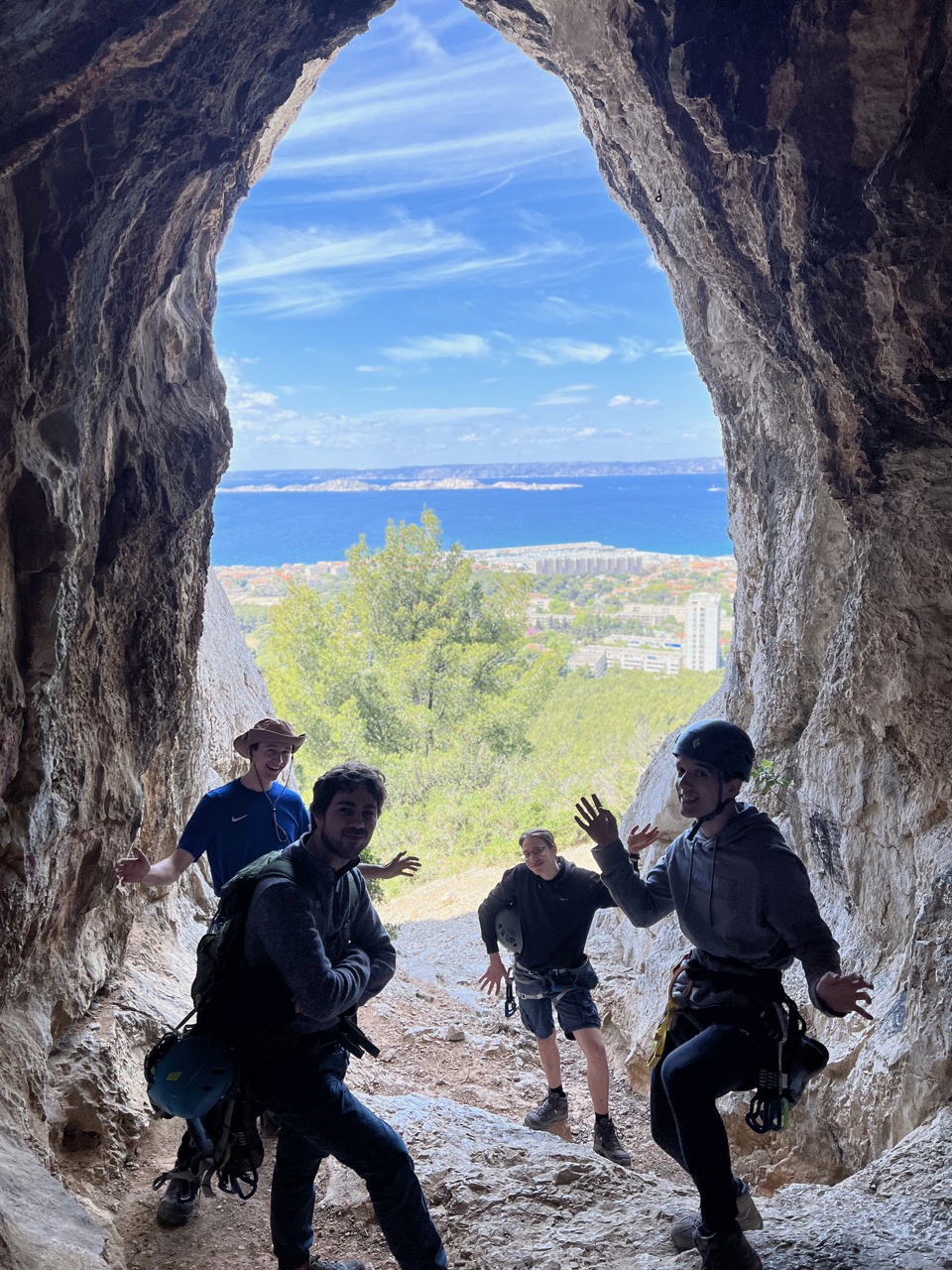
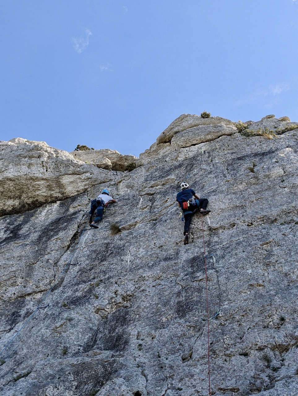
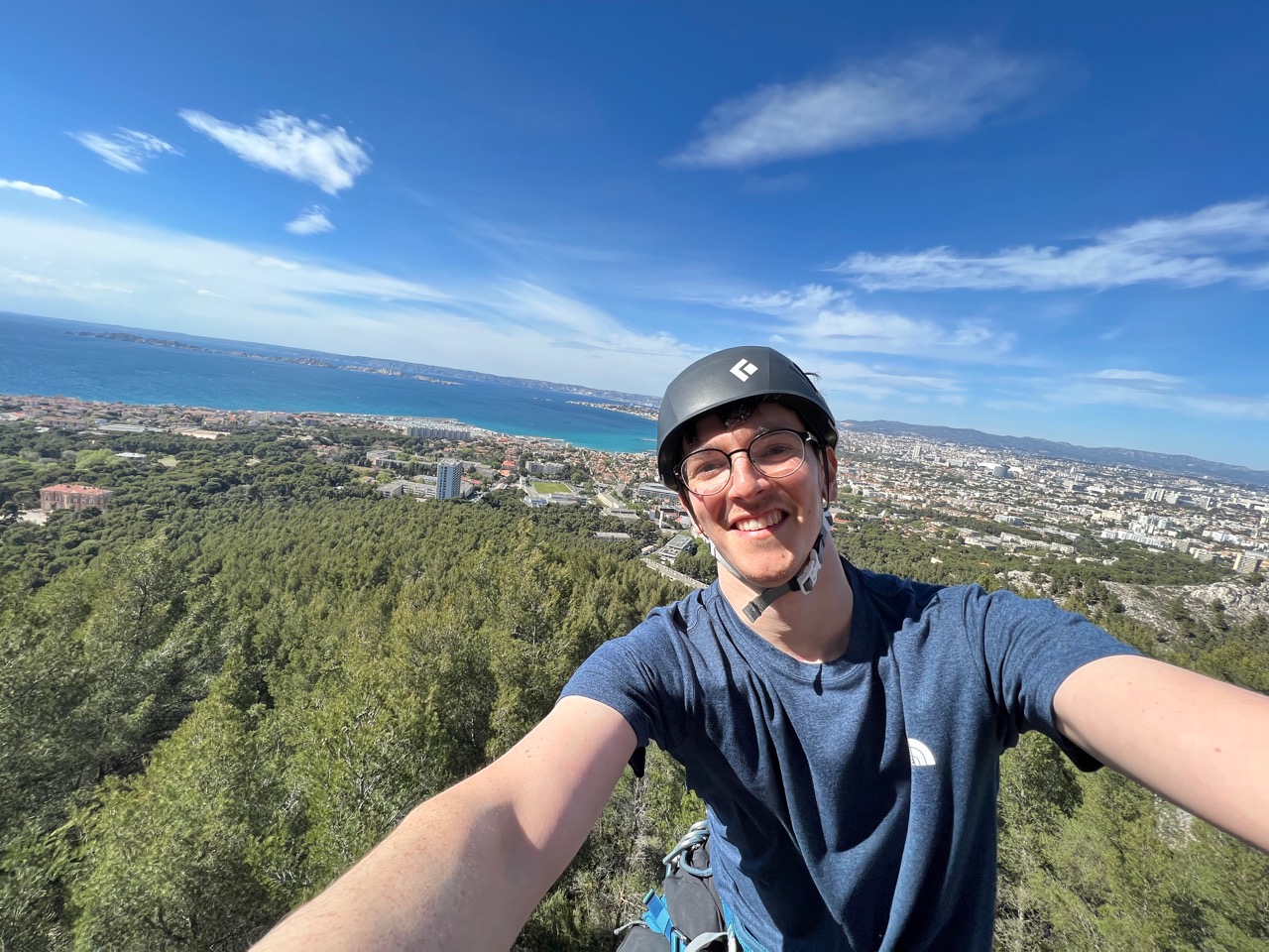
The Grotte sector has enjoyable rock features, including the cave that gives it its name, and a fantastic view over the city. The Phalanges Resinees Sector has some lovely climbing and again the top provides excellent views. We were treated to more awesome weather, the 18mph NW wind was no problem at this crag. We finished the day with a drink along the seaside at Marseille.
| Climb Log |
|---|
| Grotte Sector – L’ultravoie, 5b+, lead |
| Grotte Sector – Graffiti, 5c+, onsight. A nice crack climb with a spooky distance between the last clip and the anchor |
| Phalanges Resinees Sector – Tapage diurne, 5c, onsight. A lovely layback most of the way up |
| Phalanges Resinees Sector – Vent de Panique, 5c, lead. Lovely technical moves all the way up, on slabby terrain. Some polish but lots of options available. |
Day 4 – ‘Resting’ in Marseille #
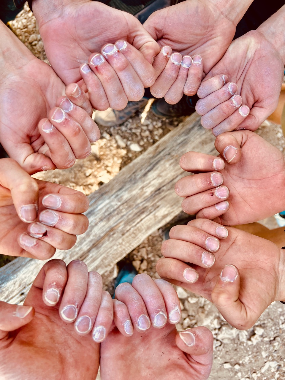
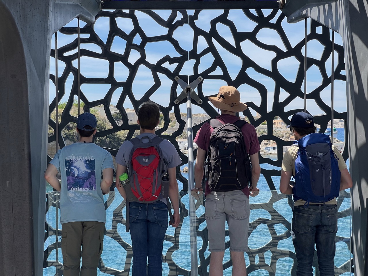
After 3 days of climbing and Calanque-ing, we needed some time to grow our fingerprints back. We drove over to Marseille and parked near the old port (a decision that ultimately cost us €32 for the day). From there, we queued up for boat tickets to Frioul Island and wandered around the Mucem museum, with its bizarre concrete lace-clad square, until our boat was ready to depart.
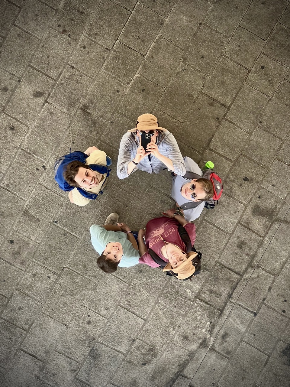
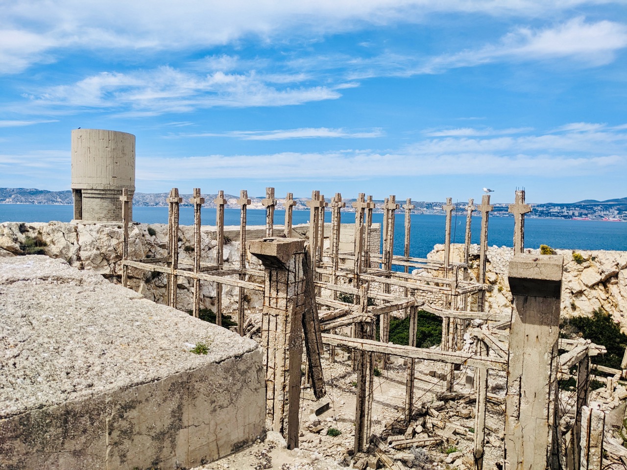
We enjoyed a picnic on the island and explored the eery ruins of unfinished German WW2-time ammunition shelters throughout the Fort of Ratonneau. Nowadays, the fort is home to hundreds of gulls, who negotiate with tourists for nesting space. Inevitably we walked more on this ‘rest’ day than any other day of the trip.
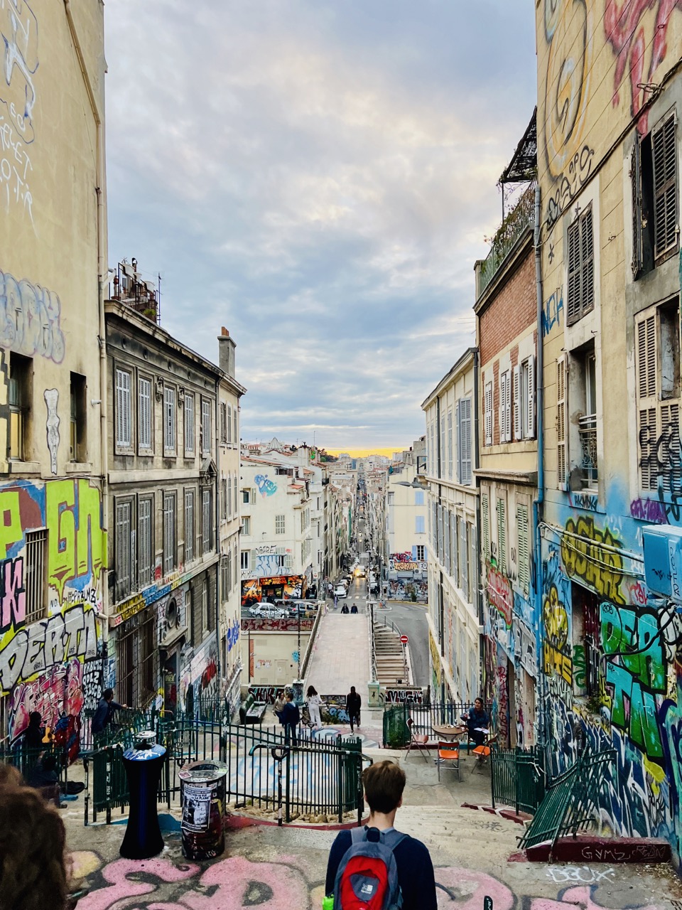
Day 5 – Escalier Des Géants, Les Goudes #
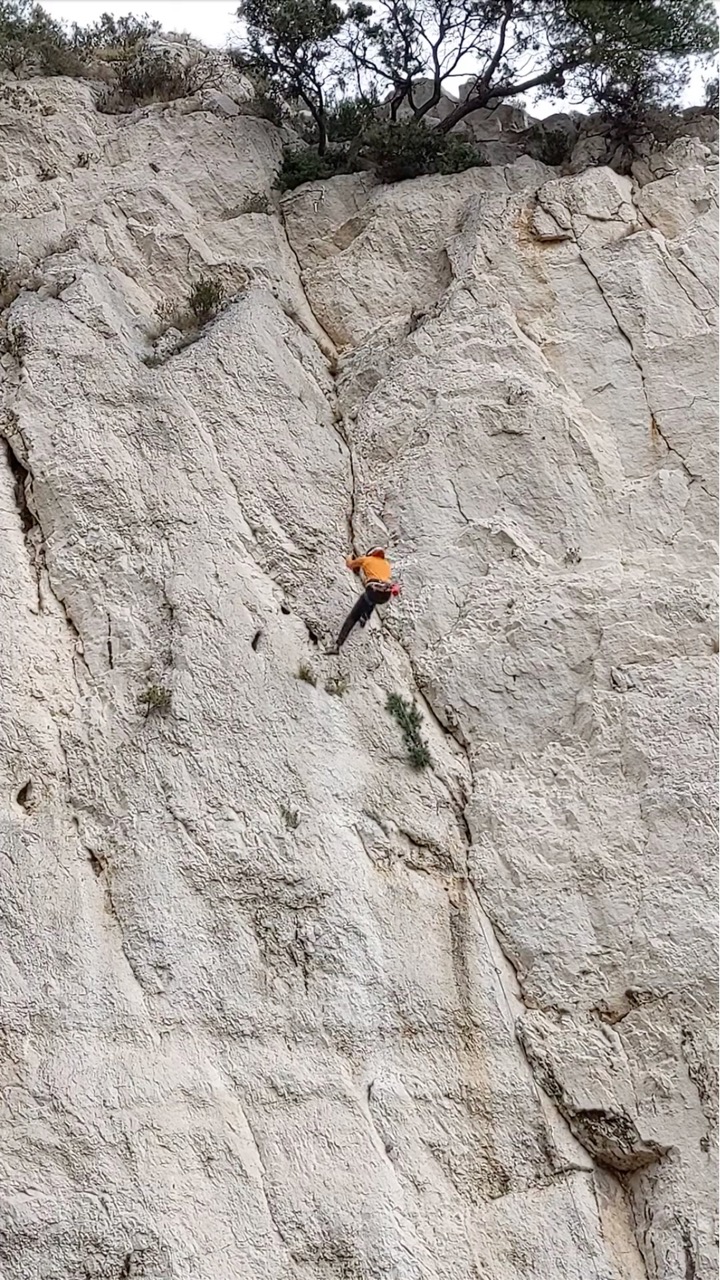
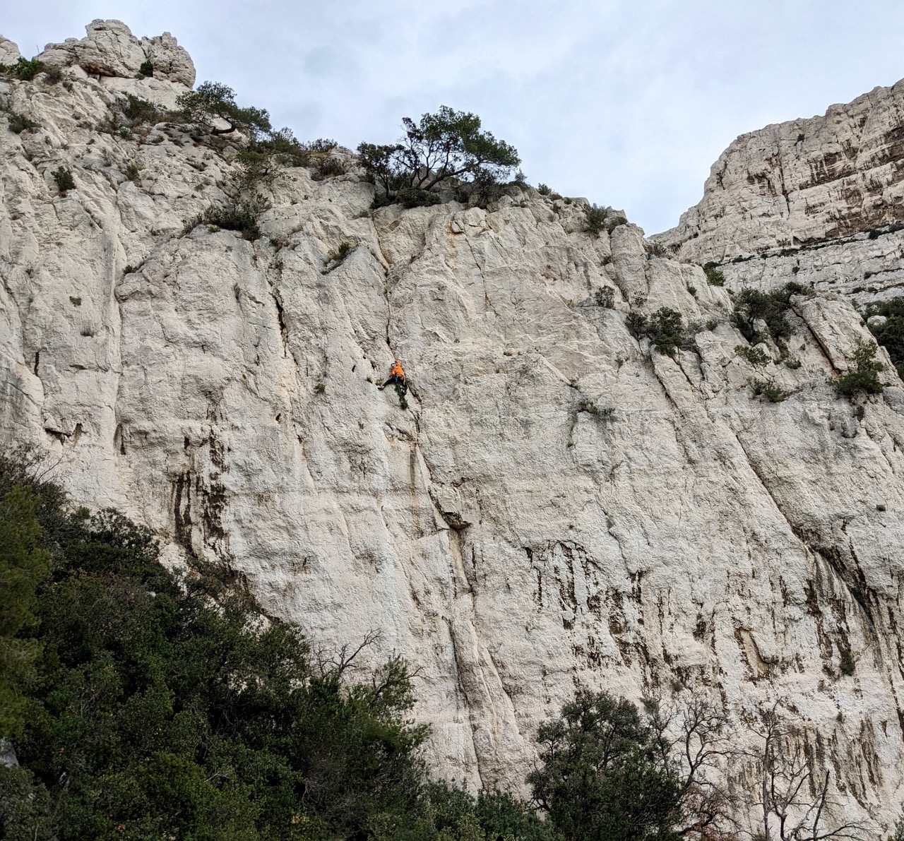
This day featured another easy approach, parking near the end of Boulevard Alexandre Delabre (43.211710°, 5.351372°) and following the easy instructions of the guidebook for about 15 minutes. The brief spits of rain on this day cooled us down just enough to have a go at La Fissure du Géant. Some of the group enjoyed the length of the routes offered here, and say this crag was a highlight of the trip.
| Climb Log |
|---|
| Miax Sector – Et Jean, 5b+, onsight. A sketchy start. It’s easy to stray left into Le Diédre, stay on the right for the interesting holds at the top. Your rope will run over some spiky rocks at the top whether you stray left onto a different anchor or stay right, you may wish to extend the anchor with a sling if a few of your party are doing this route. |
| Miax Sector – Pièce Montée, 5c, lead. This slabby route feels a little scary with a bolt missing just after half way. |
| Right Side Cliff – La Fissure du Géant, 6b, hangdogged. This huge route features cool laybacks along the crack and crimps where the crack is too tight. A ledge offers a good break before the crux through the notch. This route betrayed my lack of stamina, with my forearms melting off the route about 3/4 the way up. |
| Right Side Cliff – La Lolotte, 5c, lead. Some polish on this. |
Day 6 – En Vau #
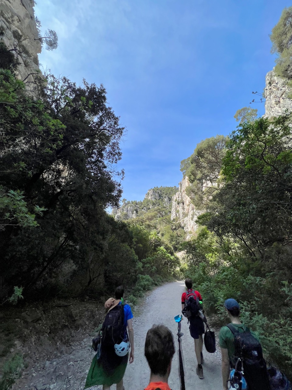
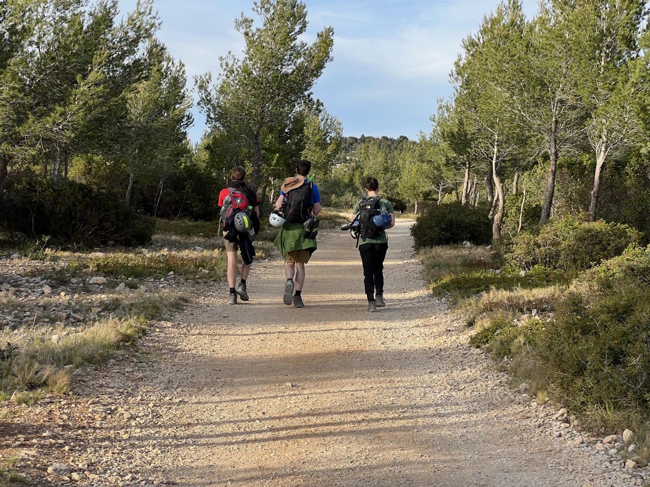
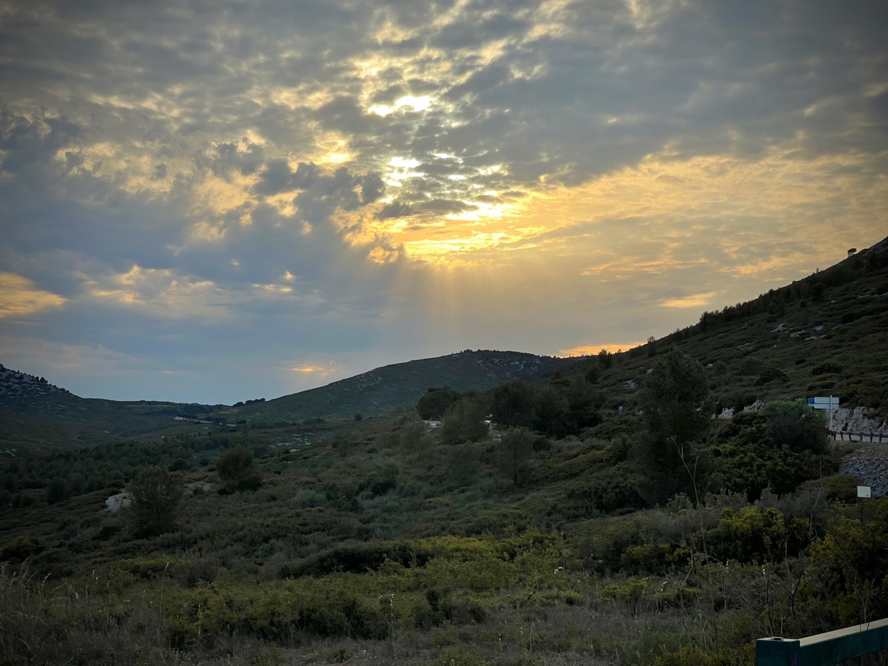
En Vau is billed as one of the most scenic and classic Calanques and is incredibly popular with tourists and beach-goers. Many of the climbing routes in this area have been there since the 1930s or earlier. It took us 90 minutes in a group of 5 to walk from the parking at the start of the Route Gaston Rebuffat (43.23712135474467°, 5.4996331475356826°), named after the famous climber from the region, down to the beach, following clear signposts to Calanque d’En Vau all the way. The view on this walk is mostly of a plain-looking forest, until the final 20 minutes or so when you are really in the valley and the beauty of the place reveals itself.
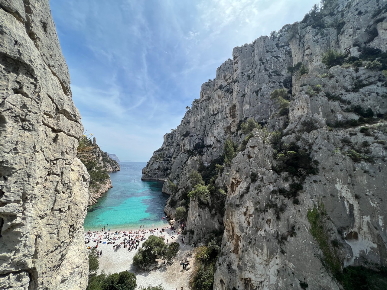
The beach is of course the hub of the place, with around 200 people sunbathing and swimming on the Friday lunchtime that we visited. There are many sectors nearby this beach and we had set our sights on the Petite Aiguille, hoping for terrific views and classic climbing. Unfortunately, the seaward side of the Petite Aiguille has enough bush cover from the beach for some to have used it as a handy toilet. The routes on this side also looked to us to be poorly equipped, with old bolts and unsafe starts (a typical clipstick will not help you reach the first bolts on these). The second bolt of La Diagonale is stained with the rusty remains of multiple maillon rapide bails. We were persuaded to start on the other side of the needle.
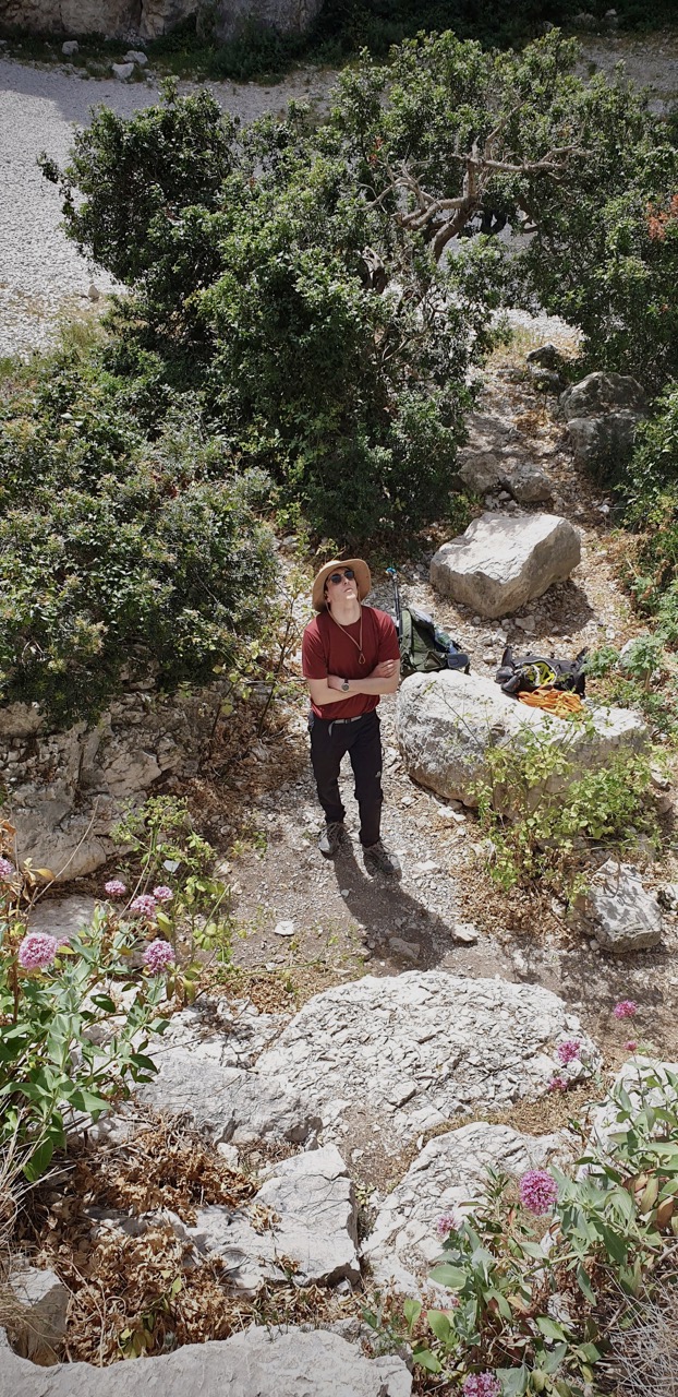
The routes on the valley side of the Petite Aiguille were somewhat better equipped, though the line of La B.B was not evident to us, and members of the group ended up merging it with Directe Nord-Oeust in order to get to an anchor. Reaching the top of this needle one way or another provides an excellent view of the Calanque, as long as you don’t mind an audience.
After a picnic and a dip in the crystal clear water, we looked for some routes to finish our En Vau experience. Dalle Du Chat looked interesting and is also very close to the beach so we wandered over to take a look. Unfortunately, in the few years since the guidebook was published, there has been a major rockfall on the left of this sector (to the left of Le Gynécologue), and the right of the sector (Passangers Du Vent - Sale Temps Pour Les Nains) has been fenced off. I stared wide-eyed at the boulders at the base of the cliff with the knowledge that they were recently the top, gulped hard, and went to look for something else.
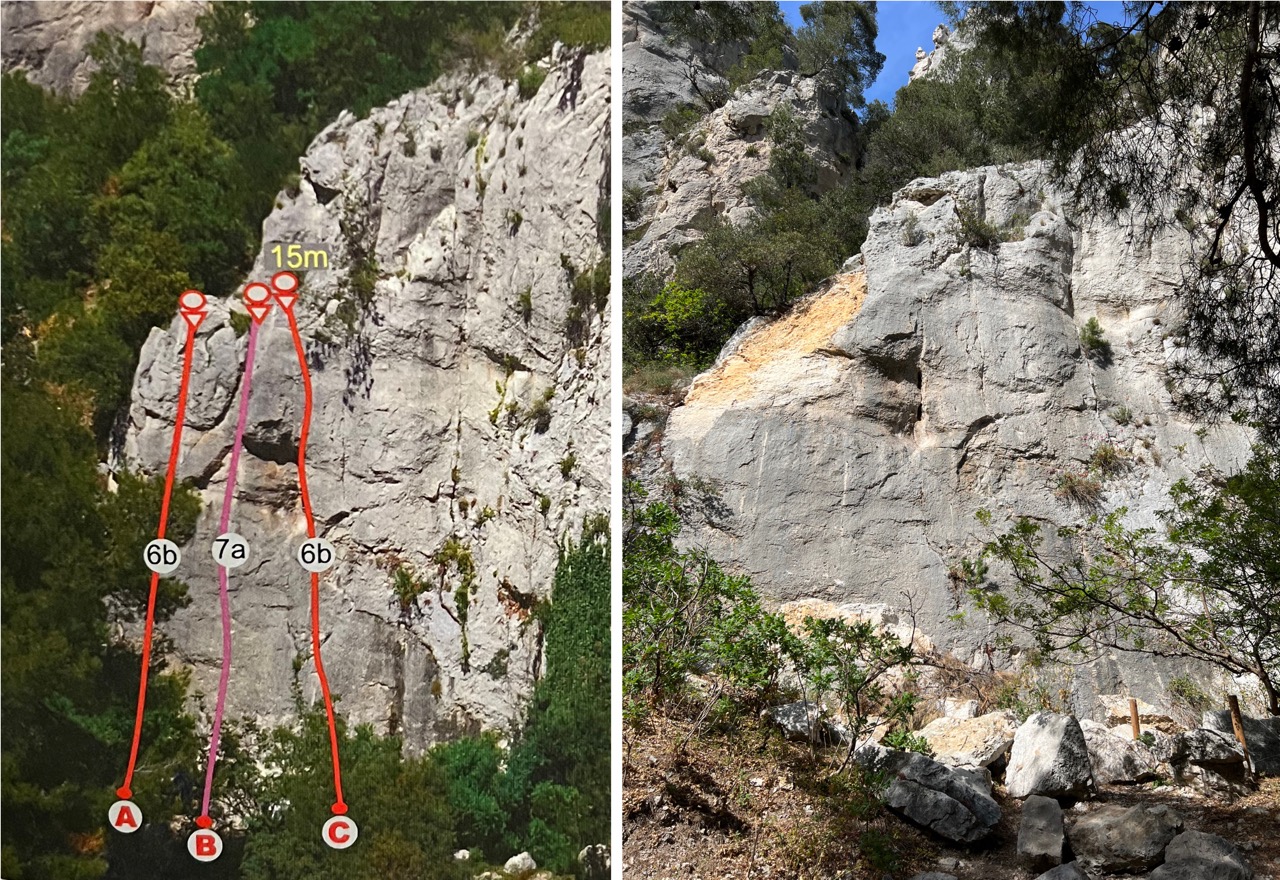
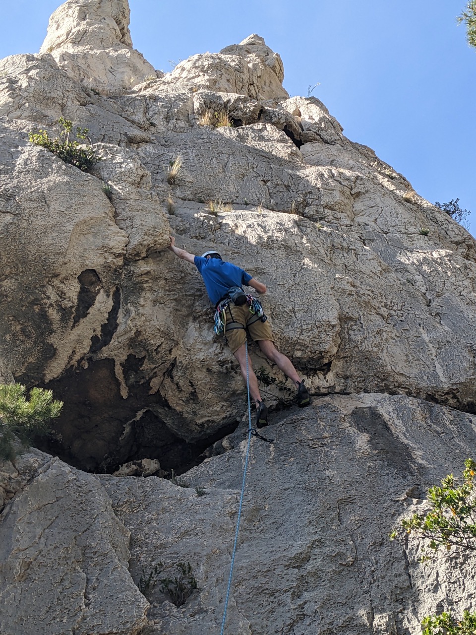
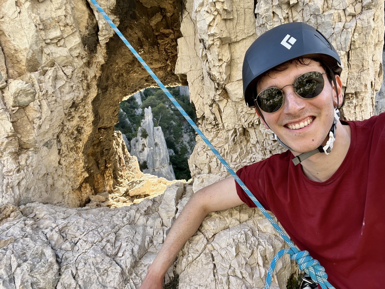
A few moments walk away from the beach along the main path, followed by a brief clamber up a scree path finds you the Grande Aiguille, which was a lovely spot for some in the group to climb the very pleasing Le G.H.M., appreciating the eye of the needle at the top, and for others to dry off in the sun from their swim.
The hike back, past beach-goers in just their sea-logged boxer shorts, was no slower than the walk in, taking us 80 minutes.
| Climb Log |
|---|
| Petite Aiguille – La Ratopenado, 5b, lead. Long spacing between the bolts throughout and a very long gap from the last clip to the anchor make this otherwise fine route a little nervy. |
| Grand Aiguille - Le G.H.M., 5c, lead. Lovely climbing, with the crux just above the cave. Don’t forget to look through the eye of the needle at the top! |
Day 7 – Vallon Des Escampons #
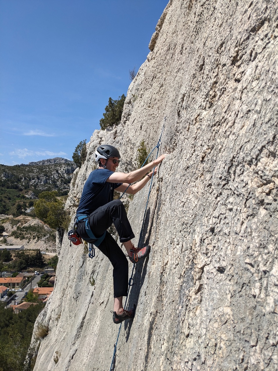
Having spent our enthusiasm for walking on our En Vau day, we went for another crag that is very close to available parking. We parked in the car park at the start of the road to Morgiou (43.222840°, 5.417970°), the residential street that the guidebook recommends to park on is small and was closed for non-residents when we were there, which seems fair enough. The walk in took about 15 minutes.
A fairly inconspicuous sign on a tree told us that the five climbs Rififi Allah Fédé - Jamika were closed during our visit due to nesting birds and suggested they’d remain closed until July 2023.
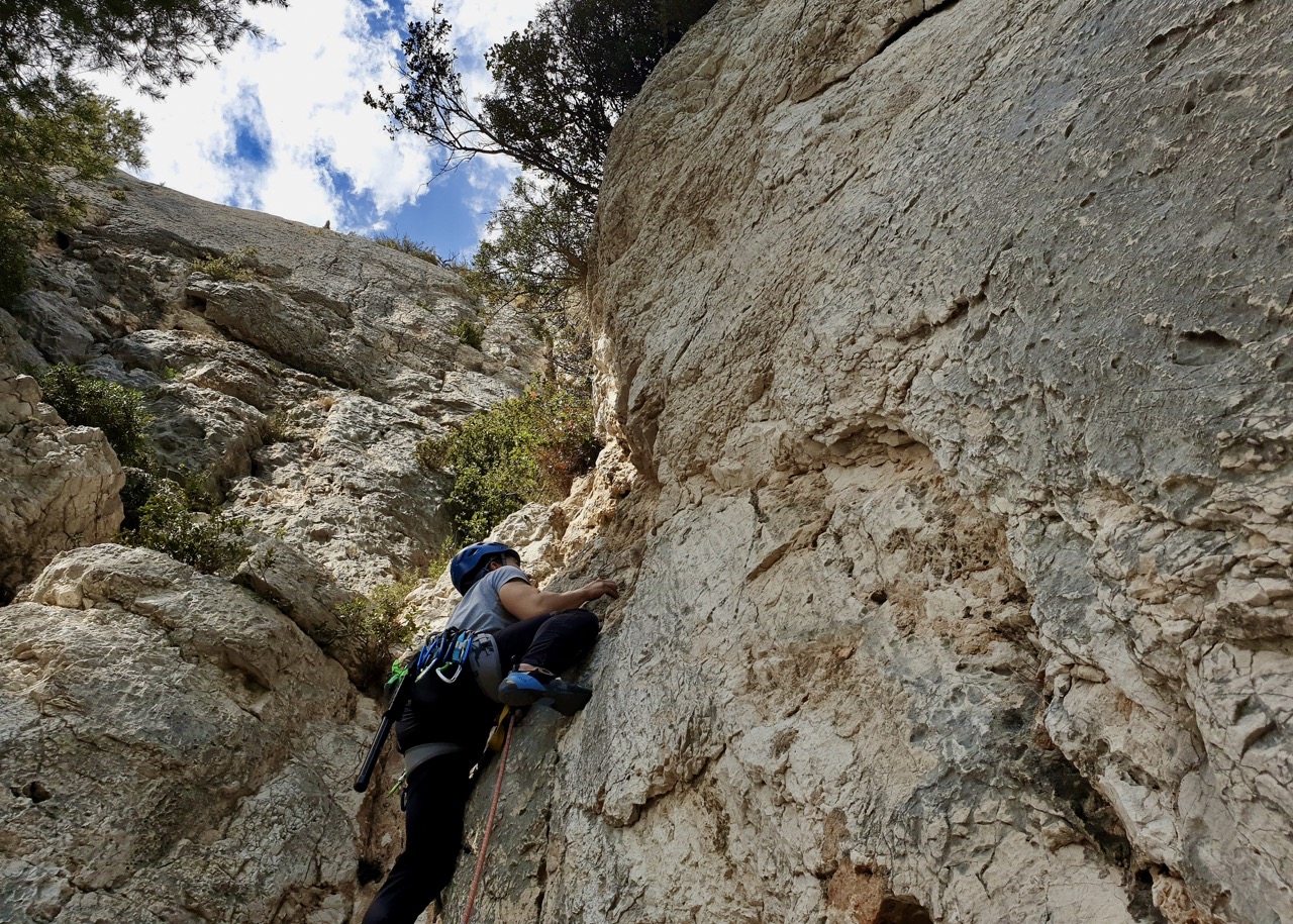
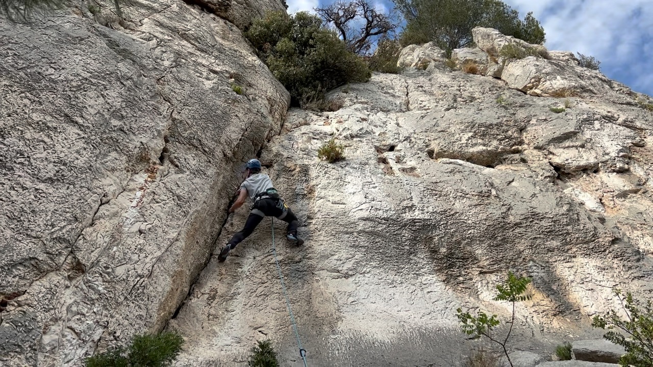
The equipment in this area is more generous than in others, with bolts spaced around 1m apart. This gave us nervous climbers the security to try some slightly harder routes, making a satisfying end to our climbing for the week.
| Climb Log |
|---|
| Escampons Left – Le Pharo, 5c, hangdogged. A bit crimpy at the top, though it’s possible to cheat into the crack on the right for an easier finish. |
| Escampons Left – Bon Secours, 5c, hangdogged. A flexible high-foot move near the end, which can be avoided by traversing round to the left. |
| Escampons Right – Papinade, 6a, onsight. A cool vertical crack to start followed by a juggy traverse to the left, then a crimpy slab finish, this one has it all! |
| Escampons Right – Une Bière Pour La Route, 6a, onsight. Enjoyable moves if you can ignore the hollow-feeling rock and the ants, wasps, and spiderwebs you might encounter on the way. Anchor is up to the left a bit from the last clip, above some bushes. |
Conclusion #
We were spoilt by fantastic weather and great variety of climbing locations on our trip to the Calanques. The availability of beginner-grade single pitch sport climbs drew us in to the area and brought us up close and personal with cliffs and ridges that inspire us to climb harder and further and to explore more of the beautiful rock that’s available to us.
We all left with the same sentiment: “now we have to learn how to multi-pitch”.
